The River That Made Canyon Lake: A Guadalupe River Journey Through the Texas Hill Country
A Root & Roam field guide · August 2026
The River That
Made Canyon Lake
From the forks near Hunt to a massive dam, a flood-carved gorge and music under the stars—follow the water that shaped our corner of the Texas Hill Country.
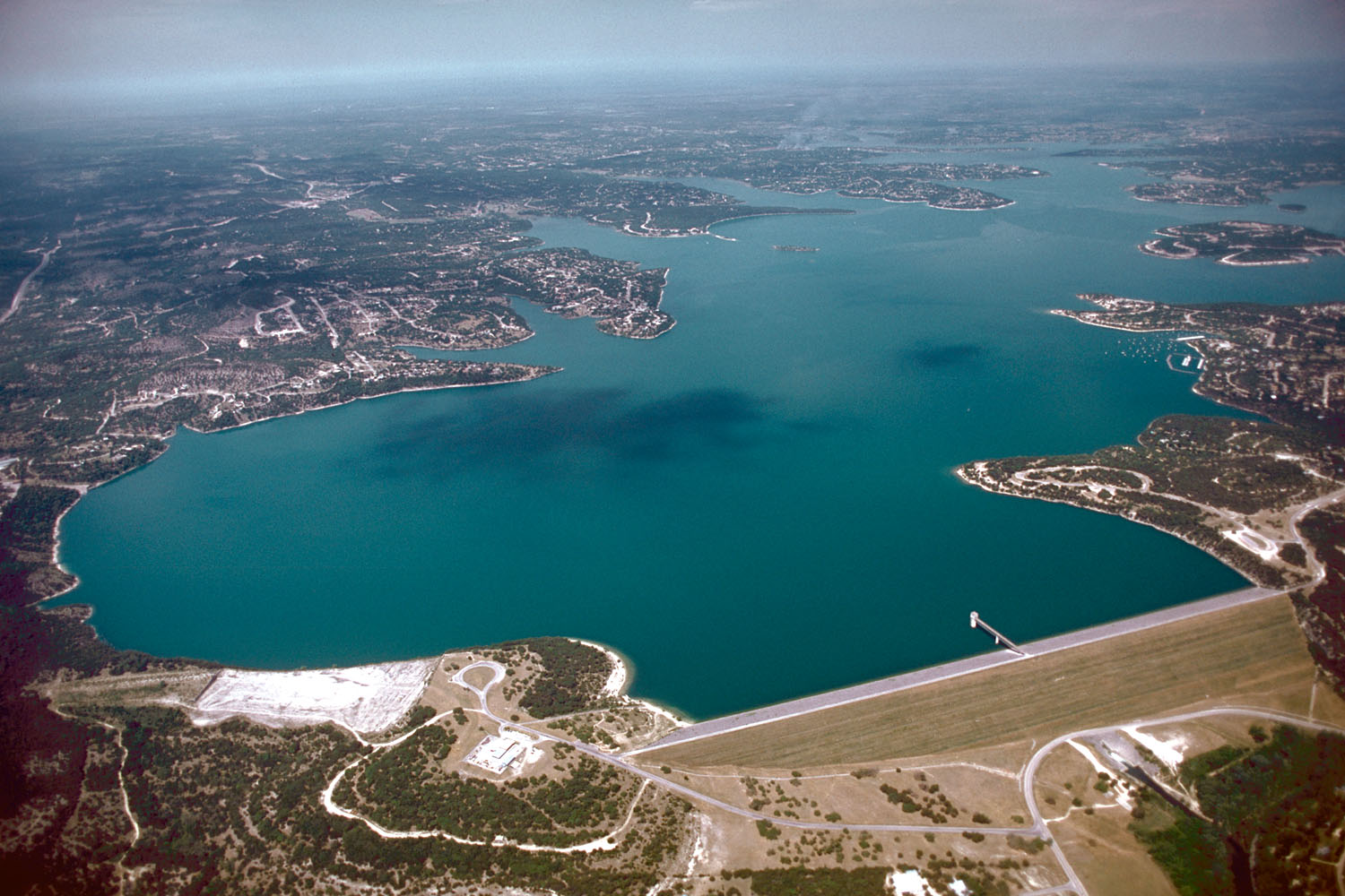
Actual aerial view of Canyon Lake and Canyon Dam, looking west. U.S. Army Corps of Engineers · Public domain · Source ↗
Before we follow the water
The river in three moments
The Guadalupe is more than a swimming hole. It is a living system that connects headwaters, communities, a working reservoir and millions of years of Hill Country history.
The North and South forks meet near Hunt, forming the Guadalupe River proper.
Construction began in 1958. Water impoundment began in 1964, creating Canyon Lake.
In 2002, floodwater carved Canyon Lake Gorge and exposed a window into deep time.
Chapter one · Near Hunt
It begins with two forks.
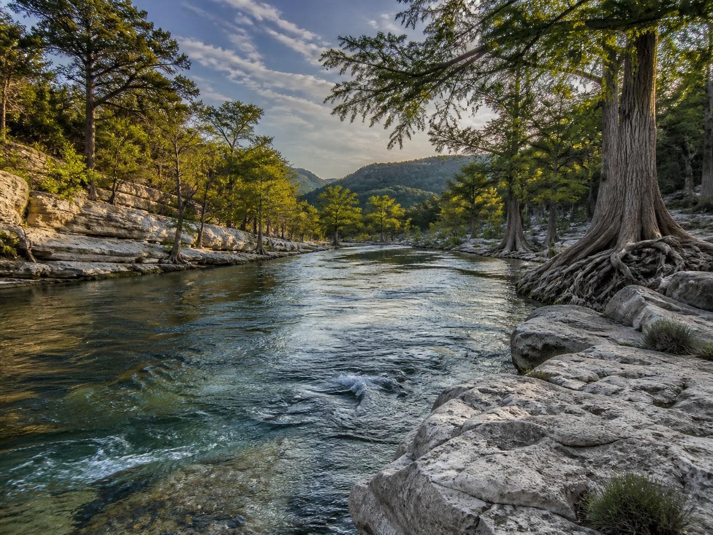
The North and South forks meet in western Kerr County, forming the Guadalupe River proper.
From there, clear water moves through Hunt, Ingram, Kerrville and Center Point before continuing toward Comfort, Spring Branch and Canyon Lake. The river has supported human life for thousands of years, later powering mills, watering towns and becoming central to the identity of entire communities.
It has also reminded every generation that clear water and catastrophic water can be the same river.
Meet the Upper Guadalupe River Authority ↗A 230-mile story
Follow the blue line through the Hill Country.
Use this as a story map—not a navigation map. The water links places that can feel separate on the road, from western Kerr County to the lake, the Horseshoe and New Braunfels.
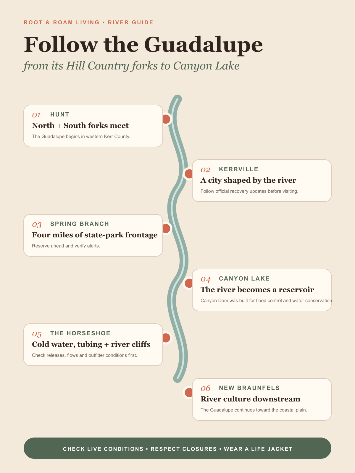 Tap to open the saveable guide ↗
Chapter two · The transformation
Before the lake,
there was a valley.
Canyon Lake is younger than many of the people who live around it.
Congress authorized the project for flood control and water conservation—not recreation. Six years of construction produced an immense rolled-earth embankment across the original river valley. Roads, fields and the river’s old path disappeared as the water rose.
How a river became a reservoir
Five dates that changed the valley
Congress authorizes the Canyon Lake project for flood control and water conservation.
Six years of dam construction begin in the original Guadalupe River valley.
Impoundment begins behind the completed rolled-earth embankment.
A new reservoir—and a new Hill Country destination—is formally celebrated.
The lake reaches the level used for long-term water conservation.
The real historical record
See the valley before the water.
These official collections show the original river path, the spillway, six years of construction and the new lake from above.
Chapter three · July 2002
The flood that opened
a window into deep time.
More than 34 inches of rain fell across the upper watershed in roughly one week. Water crossed the emergency spillway and carved a 64-acre geological classroom.
The approximate age of dinosaur tracks preserved in Cretaceous limestone.
What the water revealed
Fossils. Faults. Ancient ripples. Real dinosaur tracks.
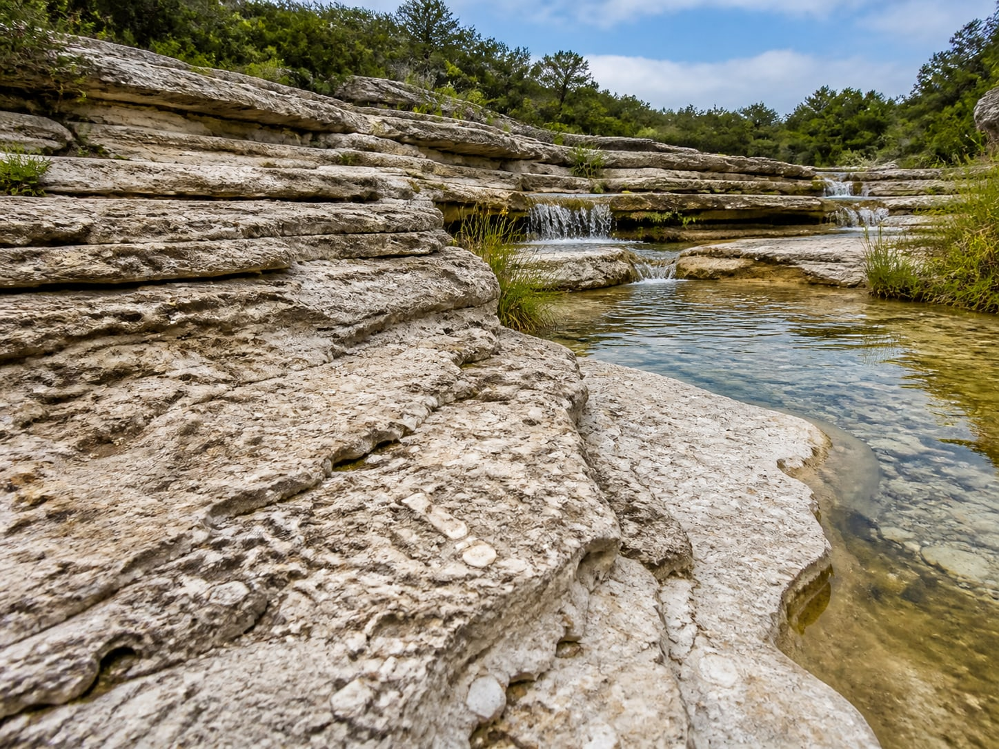
Canyon Lake Gorge exposes layers that were buried for millions of years, along with springs and seeps that help explain how water moves through the Trinity Aquifer. The most meaningful details are easy to miss—and the most sensitive are worth protecting.
The lower gorge and its famous tracks are best explored on an authorized guided tour. Tours commonly last about two hours and have age and mobility requirements.
Explore official gorge tours ↗Go where the story lives
Six stops worth getting out of the car for
Conditions and capacity change. Use every card as a starting point, then check the official site before leaving home.
Guadalupe River State Park
Four miles of river frontage, limestone trails, camping, paddling and cypress-shaded places to slow down. Reserve day use before you go.
Check alerts & reserve ↗Canyon Dam & Guadalupe Trail
Take in the earthen embankment from above, then follow the short riverside trail below the dam when releases and conditions allow.
Explore the official trails ↗Canyon Lake Gorge
Walk through exposed Cretaceous limestone, fossils, ancient ripples, aquifer seeps and real dinosaur tracks on an authorized tour.
Find a gorge tour ↗The Horseshoe
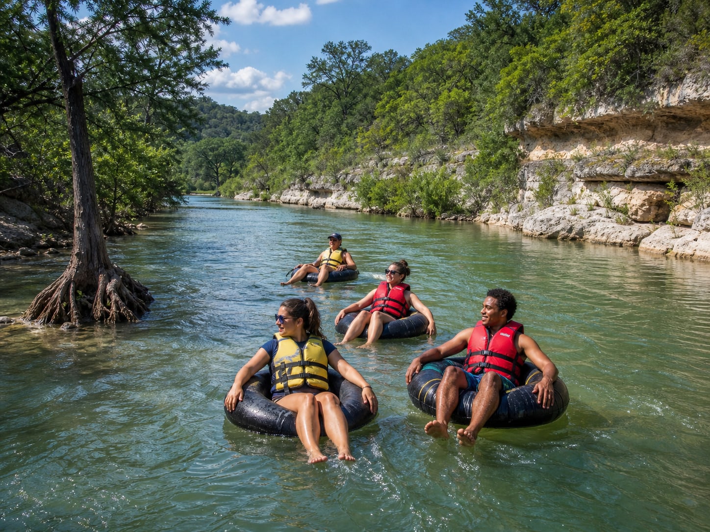
The river’s famous bend below Canyon Dam is a classic tubing stretch—but the day’s release determines the route, time and experience.
Find a permitted outfitter ↗Canyon Lake Parks
Cranes Mill, Potters Creek, Canyon, North and Comal parks offer different combinations of camping, ramps, fishing and day use.
Compare official parks ↗Whitewater Amphitheater
An open-air concert destination where the Guadalupe, limestone bluffs and live music become one unforgettable Hill Country night.
See the event calendar ↗The Horseshoe · Below Canyon Dam
Float the river you actually have today.
Release levels can turn the same bend into a completely different trip.
Use a permitted outfitter that can explain the day’s route, shuttle plan, rules, equipment and expected float time. Ask about the exact exit before paying—and never treat a beautiful photo as a real-time safety report.
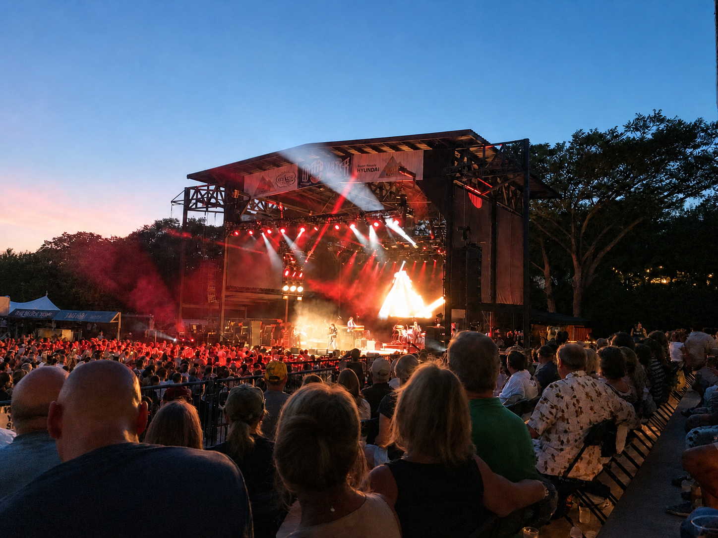
Whitewater Amphitheater at dusk · Photo by Alison McLaughlin
When the sun goes down
The river has
a soundtrack.
Opened in 2007, Whitewater Amphitheater brings outdoor concerts to the banks of the Guadalupe beneath dramatic canyon bluffs. Concert nights come with their own parking, traffic and arrival rhythm—plan ahead.
See what’s playing ↗Start in Spring Branch
One unforgettable day along the water
No racing from stop to stop. Give the landscape time to tell you what happened here.
Begin with a reserved day pass at Guadalupe River State Park. Walk the limestone edge and look for the roots of old bald cypress.
Drive toward Canyon Dam and take in the 6,830-foot embankment that transformed the valley into a reservoir.
Book a gorge tour for the deeper story—or confirm same-day conditions for a permitted water activity.
On concert nights, finish at Whitewater. Otherwise, choose a relaxed local dinner and a scenic drive home.
Before anyone touches the water
Five things that are not optional
- 01Look upstream.
Blue sky overhead does not tell you what is happening across the watershed.
- 02Check live flows and closures.
Use GBRA, WORD, UGRA and the park or outfitter you intend to visit.
- 03Wear a fitted life jacket.
Strong swimmers are not stronger than moving water or hidden obstacles.
- 04Use legal access.
A visible river does not automatically mean public parking or public entry.
- 05Leave it cleaner.
Pack out everything, avoid glass and follow local container rules.
The neighborhood story
What does it really mean to live along the Guadalupe?
A future Root & Roam guide can unpack waterfront versus water access, floodplains and insurance, Corps boundaries, septic and water systems, lake levels, community rules and what recent home sales actually reveal.
Good to know
The quick answers
Is Canyon Lake a natural lake?+
No. It is a reservoir created by Canyon Dam. Construction began in 1958 and impoundment began in 1964.
Why was Canyon Dam built?+
Its primary purposes are flood control and water conservation. Recreation developed around the reservoir later.
Can anyone see the dinosaur tracks?+
The actual tracks and lower-gorge features are best explored through an authorized guided tour. Check the official tour site before visiting.
Is the Guadalupe safe to float today?+
A static article cannot answer that safely. Weather, releases, water quality and closures change—check official conditions and speak with a permitted outfitter that day.
Save this river guide